Kenya's Inland Waters & Wetlands
Kenya's inland waters and wetlands comprise a diverse network of lakes, rivers, swamps, and seasonal marshes that are vital for biodiversity, water regulation, and local livelihoods. These ecosystems include iconic water bodies such as Lake Victoria, Lake Turkana, and the Tana River, as well as highland and lowland wetlands scattered across the country. They support a wide range of flora and fauna, provide critical ecosystem services, and are integral to Kenya’s environmental and socio-economic wellbeing.
Kenya's Inland Waters and Wetlands
Dynamic ecosystems in constant temporal and spatial flux, supporting biodiversity and vital ecosystem services
Kenya's wetlands, as defined by the EMCA 2009 Regulations, are areas seasonally or permanently flooded by water that support specially adapted plants and animals, including swamps, marshes, peatlands, and shallow marine zones. These ecosystems provide critical services such as water regulation, biodiversity conservation, fisheries support, and cultural value.
0
Major Drainage Basins
Lake Victoria, Ewaso Ng'iro North, Tana River, Athi River, Rift Valley0
Inland Wetlands - sqkm
Covering diverse wetland ecosystemsKenya's drainage is divided into six main basins: Lake Victoria (North and South), Ewaso Ng'iro North, Tana River, Athi River, and Rift Valley, each hosting significant wetlands like Yala Swamp, Lorian Swamp, and the Tana Delta. While these basins support livelihoods, agriculture, and energy needs, they face growing threats from land-use change, pollution, habitat degradation, and overexploitation.
Quick Facts
- Coverage: 3-4% (dry season) to 6% (rainy season)
- Drainage Basins: 6 major basins
- Ramsar Sites: 6 designated wetlands
- Wetland Types: 6 main categories
- Key Rivers: Tana, Athi, Ewaso Ng'iro, Nzoia
- Bird Species: 450+ species
- Dependent Population: Over 15 million
Wetland Distribution Map
Map Layers
6
Ramsar Sites
6
Drainage Basins
3-6%
Land Coverage
15M+
People Dependent
Kenya's Ramsar Sites
.png)
Lake Nakuru National Park
World Heritage Site49 km² • 45% saline (pH 10.5) • 4.5m max depth
UNESCO World Heritage Site supporting over 450 bird species and critically endangered Black Rhinoceros. Critical stopover along the Eastern African flyway.
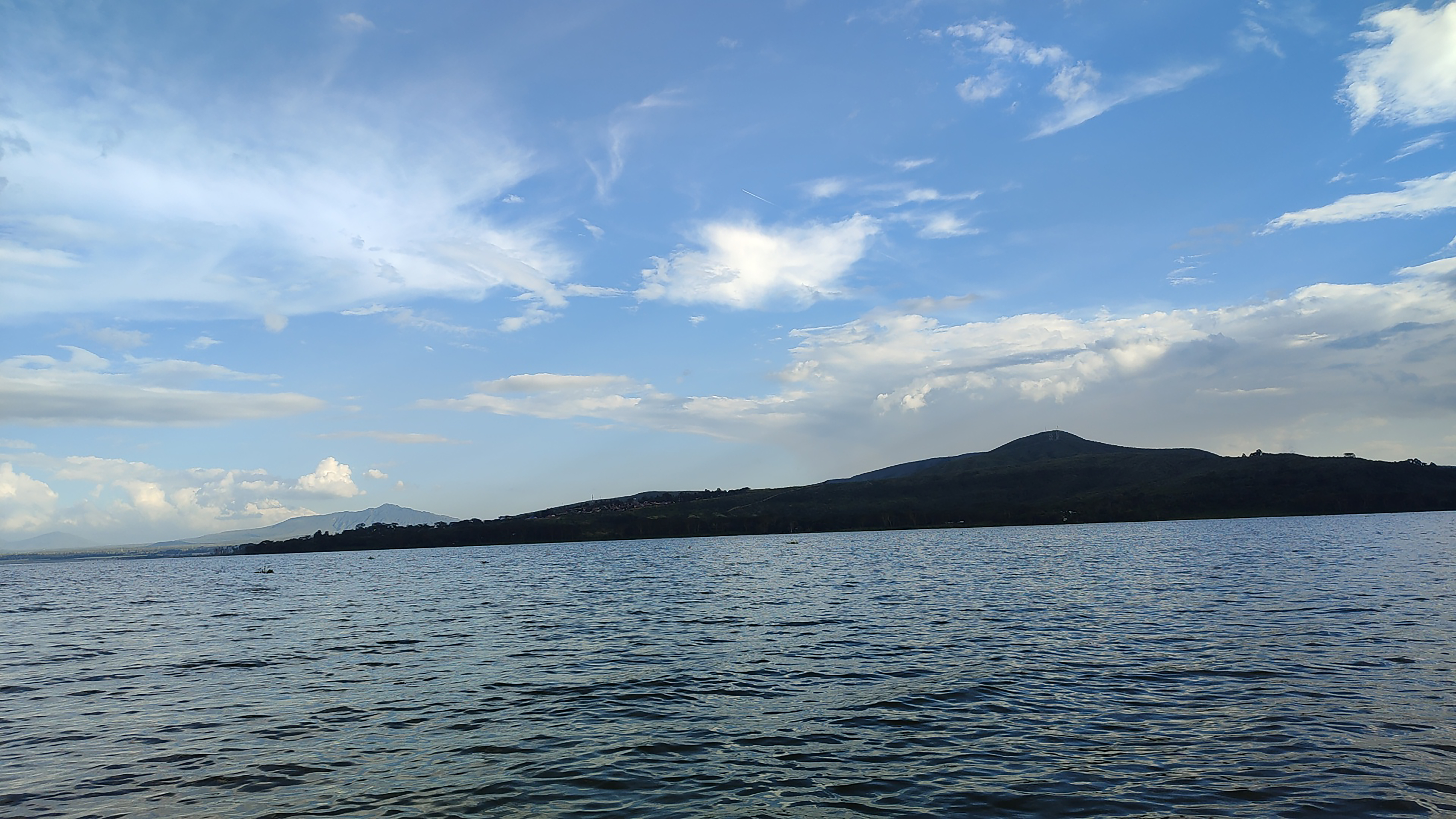
Lake Naivasha
Ramsar Site (1995)156 km² • Freshwater • 7m max depth
Freshwater Ramsar site supporting 686 hippos and 85 bird species. Critical water source for Nakuru city, horticulture, and Olkaria Geothermal Power Station.
.png)
Lake Bogoria
World Heritage Site42.5 km² • 35% saline (pH 9.8-10.3) • 8.5m max depth
UNESCO World Heritage Site with active geothermal hot springs supporting 300+ waterbird species. Research center for volcanic activity and biodiversity.
Tana River Delta
Ramsar Site1,636 km² • Mixed water systems • 600+ plant species
Second most important estuarine ecosystem in East Africa. Critical habitat for critically endangered Dugong and endemic Tana River primates.
Lake Elmenteita
World Heritage Site18 km² • 40% saline (pH 9.4) • 1.9m max depth
World Flamingo Capital hosting 28% of the world's lesser flamingo population. UNESCO World Heritage Site with unique nesting habitat for white pelicans during dry season.
Lake Baringo
Ramsar Site130 km² • Freshwater • 8m max depth
Freshwater Ramsar site supporting nearly 500 bird species and endemic tilapia. Critical habitat for four ethnic communities and traditional religious functions.